Aerial Inspections by UAV (Drone)
Are you responsible for the inspection or maintenance of structures (or elements of) that are difficult, costly or impossible to access ?
Then Safe T Marine can offer the solution, by the use of surveys undertaken by UAV's (more frequently referred to as 'drones').
By using this technique we are able to provide real time viewing at ground level, video surveys and photographic surveys. Our experienced operators, with many years experiece in the construction industry, are able to interpret during the course of the survey and undertake any additional photographs / video of specific defects or areas of interest. (We do not just photograph/record for interpretation of the output by others - which would then be an additional cost and time delay to the client), we will interrogate as necessary on site to gather all relevant information and provide a comprehensive engineering / condition survey as required and agreed with the client in advance of the inspection. The use of thermal imaging cameras allows for identification of water ingress, heat loss areas, early warning of mechanical plant failure, lack of thermal insulation etc.
The use of UAV's is often the most cost effective method of providing a quick and thorough inspection, which can normally be undertaken at short notice (depending on location and other constraints) and will avoid the need for costly and time consuming installation of scaffolding or the use of MEWP (access platforms) to provide access, keeping all operatives safe at ground level.
Some of the possible uses / inspection tasks are listed below :-
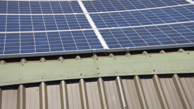
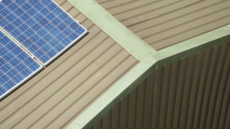
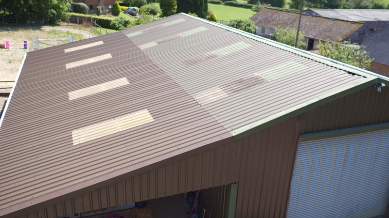
- Industrial roofing and flat roof surveys;
- High level building fabric and roofs;
- Chimneys (without needing to shutdown any plant);
- Earthing / Lightning conductors;
- Checking for blocked or damaged guttering, incl. 'Hidden' valley gutters;
- Solar Panels;
- Masts / Towers / Antenna;
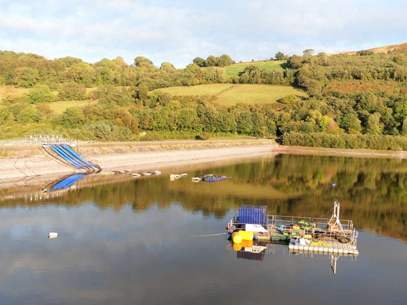
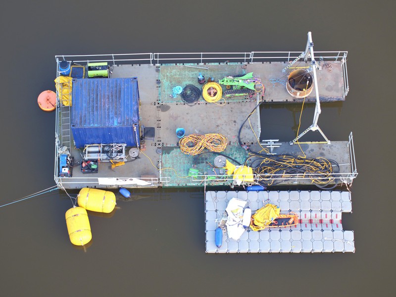
- Bridge structures;
- Flood defences (movement of material and damage);
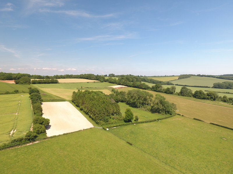
- Preparation of 3D models;
- Stockpile monitoring;
- Monitoring at regular intervals from the same locations (including time lapse photography);
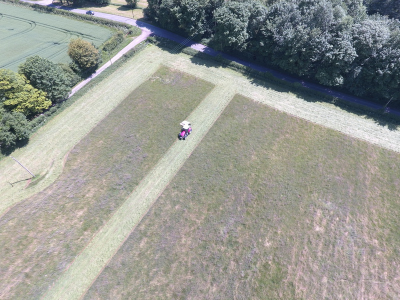
- Regular monitoring of progress on construction sites;
- Landslip monitoring;
- Evidence for insurance purposes or land disputes (e.g. fly tipping, flooding extents, flood / fire damage etc.);
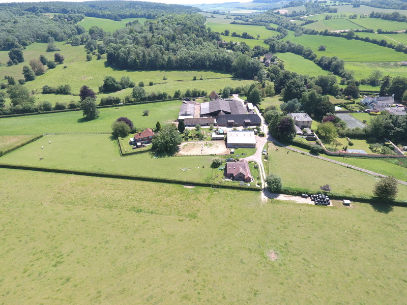
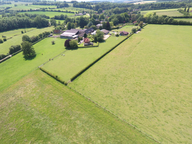
- Marketing and publicity material / imagery (e.g. for estate agent literature, web sites and brochures);
The above list is not exhaustive, but provides an idea of the areas of work that we can undertake. We can also provide thermal imaging for specific tasks as required.
We are happy to discuss any possible projects you may have to determine what we could achieve for you. We are in possession of 'Permission for Commercial Operations' issued by CAA (CAA No UAV3486). Our UAV operators are all qualified and work within the framework required by the CAA. We are fully insured, with Third Party, Public Liability and Professional Indemnity cover.
Pricing
Since all jobs are different, it is not possible to provide a set price for a specific job type. We will though,provide you with a timescale and cost as soon as we are provided with details and location of your project. Site activities will be charged in half day increments wherever possible.
When procuring UAV services the following may serve as a useful checklist to ensure that your responsibilities as client are covered.
- Is the company or individual undertaking UAV services a holder of a 'Permission for Commercial Opertations' (PfCO) issued by CAA ? (There is a list of current holders on the CAA website, which can be found here )
- Have you seen the operators 'Operations Manual' for using UAV's ? (this is a legal requirement, as required by CAA which must be updated regularly and kept upto date)
- Does the operator have suitable aviation insurance (a mandatory requirement) and Professional Indemity insurance for inspection tasks ?
- Has the operator carried out a thorough assessment of the area prior to flight to confirm the task is legally achievable ?
- Prior to the survey taking place, will a full Hazard and Risk Assessment be undertaken and be available to the clients representative on site ?
- Does the operator have relevent construction experience or are they just recording data for analysis by others ?
- Does the proposed UAV have suitable photograhic resolution and have the ability to zoom in or change lenses for the survey (to aid the survey and undertake the task safely) ?
- Does the operator have a 'backup' aircraft in case of technical issues ?